Advanced Aerial Intelligence
Our platform integrates seamlessly with your existing workflow, providing survey-grade accuracy with automated processing pipelines.
4x Faster
Processing Speed
linked_camera
Photogrammetry Engine
Generate high-resolution orthomosaics and 3D models with survey-grade accuracy. Our engine handles massive datasets effortlessly.
Learn more arrow_forward deployed_code
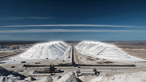
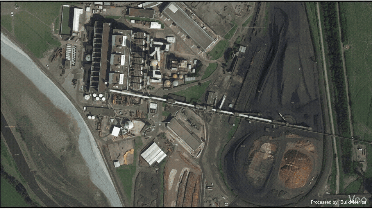
Stockpile Volumetry Made Easy
Calculate volumes instantly and generate comprehensive, professional inventory audit reports in seconds to keep your team synced.
Learn more arrow_forward satellite_alt
LiDAR & GNSS Integration
Seamlessly integrate ground control points and RTK data for precise georeferencing. Mix LiDAR point clouds with photogrammetry.
Learn more arrow_forward drone
RPAS Operational Consulting & Training
Expert guidance to integrate advanced photogrammetry workflows, drone regulations, and safety protocols into your daily operations, ensuring precision and compliance in every geospatial mission.
Learn more arrow_forward